

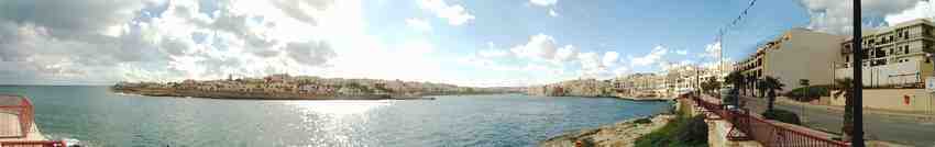
Walk 4 - Bahar ic-Caghaq (Ronnie’s Bar) to St Paul’s Bay.
Tuesday, 23rd March 2004.
Approximate Distance 4.5 miles
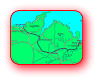
Getting to Bahar ic-Caghaq From St Paul’s Bay - No. 652 Bus.
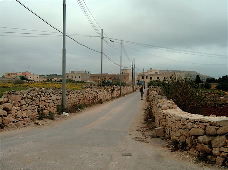
Until now the walks had, more or less, followed the coastline of Malta and, although we had considered continuing our walk alongside the sea, we decided to venture inland to get to St Paul’s Bay. The route would take us along little country lanes which, we hoped, would be devoid of traffic
.

Having alighted from the St Paul’s Bay to Sliema bus at Bahar ic-Caghaq (Ronnie’s Bar)
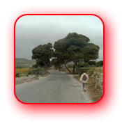
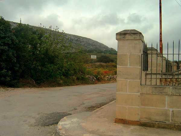
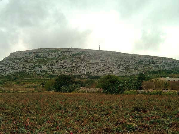
As we started along this track we began to get a little concerned. The sun, which had been trying to come out, had given up the challenge. It had got cooler and from the look of the sky over the limestone hillside and the Victoria Lines to our left (south) there was a strong possibility that we might get precipitation before this journey was over.
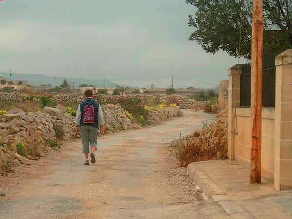
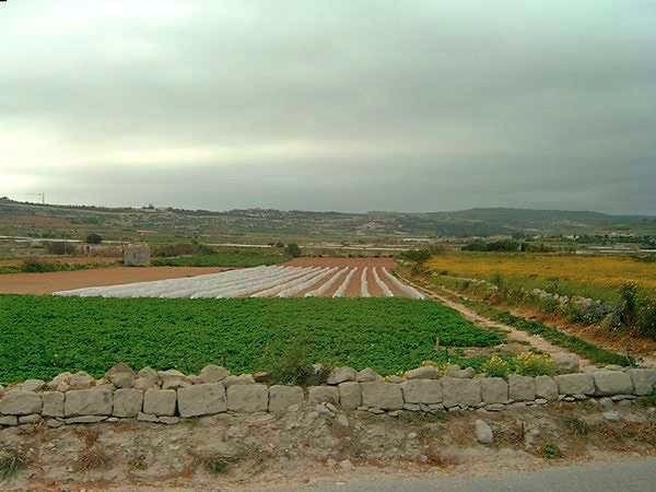
Soon we reached a house on our right, with a well in its front garden. Here we turned right and were then in open countryside. This was pleasant walking, even without the sun shining, with fields on either side of our route. And then we passed a property, with an adjacent field full of old rusting cars – mostly Fiats. ‘Wasn’t expecting that.
-
Turn right after the house with the well in the front garden.... .
-
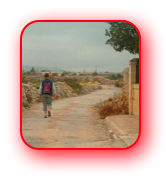
.....and suddenly you are in open countryside....
-
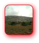
.......but the clouds look menacing over the
Victoria Lines.
Reaching another T Junction we turned right onto a metalled track. A very smelly metalled track. It was now that we realised we were in pig country. Fortunately my sense of smell is not that acute, but Anne’s is and she was now thinking the coastal route to St Paul’s Bay may have been preferable.
Soon we spied a sign indicating the Maghtab Earth Station but rather than follow these directions we turned right towards a group of houses about 150 yards away. Here the road swung left and we followed it as our route went uphill passing by houses and stables and a few small industrial units. Never expected to see them in such a rural location.
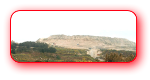
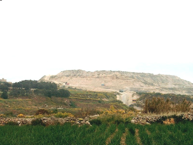
While going through this area a refuse tip to the north became very obvious. This refuse tip, the Maghtab Land Fill, seems to be located on a plateau at over 175 feet high, and getting higher, and must be one of the highest points in this part of the island. I imagine the views from the top are something else but I doubt that many visitors take advantage of the panorama it offers.
We then approached a one-way system. Never expected to see that in the area either. We took the road that said “No Entry”. It only referred to vehicles, and soon we reached a main road. Or at least it was much larger that the roads we had already walked along. We crossed the road, going slightly left, and down a track at right angles to the road. As we descended the track it got narrower and smellier. More pig abodes.
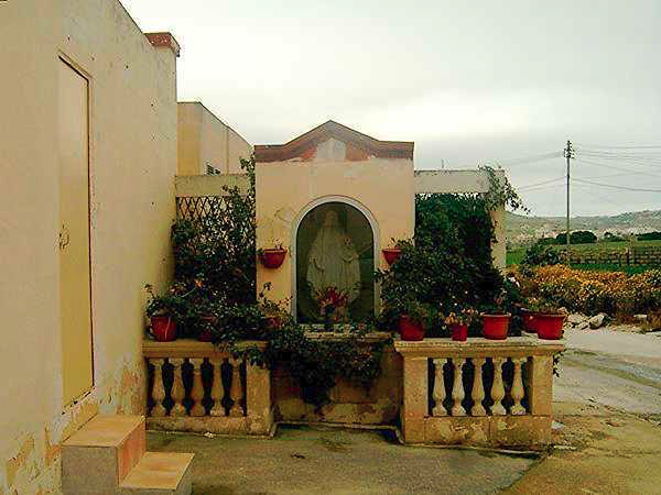
250 yards later we reached a pig farm with a shrine outside. Seemed an odd place to have a shrine! Having admired the shrine we quickly moved on reaching a busy road with a boat yard opposite. Here we turned right and, although I had considered leaving the road after about 50 yards and going over the hillside, we decided to stay with the road. The hillside looked to be bare of trees but we could see trees ahead, an avenue of conifers, which would offer shelter if the rain started. The clouds were beginning to look more ominous.
-
The shrine - right next
door to a pig farm. -
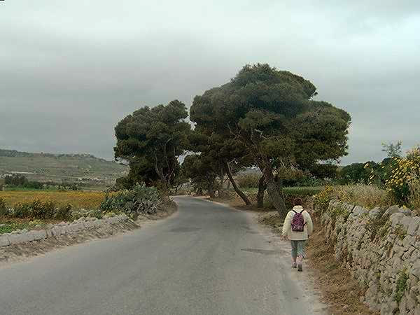
Heading for the trees with waterproof already on.
-
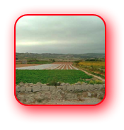
Farm land, and by the look of the sky the crops will soon get some rain.
Through the trees, next turning right, and up the road we went. At the top of the rise the road, it was more of a track really, went left and we followed it passing numerous houses, more industrial units and Green’s Supplies Limited (Market Garden). I think Anne would have liked to explore this but we pressed on as the clouds were getting even more ominous.
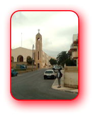
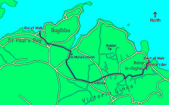
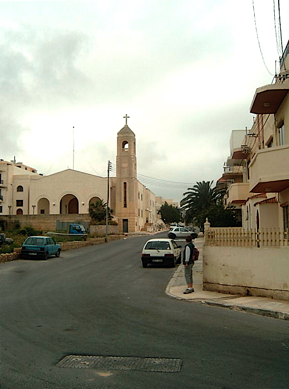
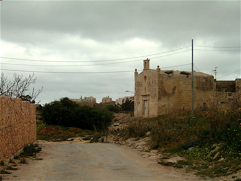
Soon after “Green’s” the road went downhill, a track came in from the left and after another 200 yards or so a small church, St Michel's, was seen on our right. The track then bent left and immediately right (north) and soon we were just outside St Paul’s Bay by the road that goes to Sliema. However, we continued to follow the track which went left, away from the road, before turning right, and back to the road.
Then it was left and we followed the road to St Paul’s Bay - walking on top of a low wall as there was no pavement. And then it rained.
It had not been a wonderful walk. It had been overcast and often very smelly. But at least we reached St Paul’s Bay before the clouds opened, and we had seen a side of Malta not experienced by most visitors.
Return to top of page