


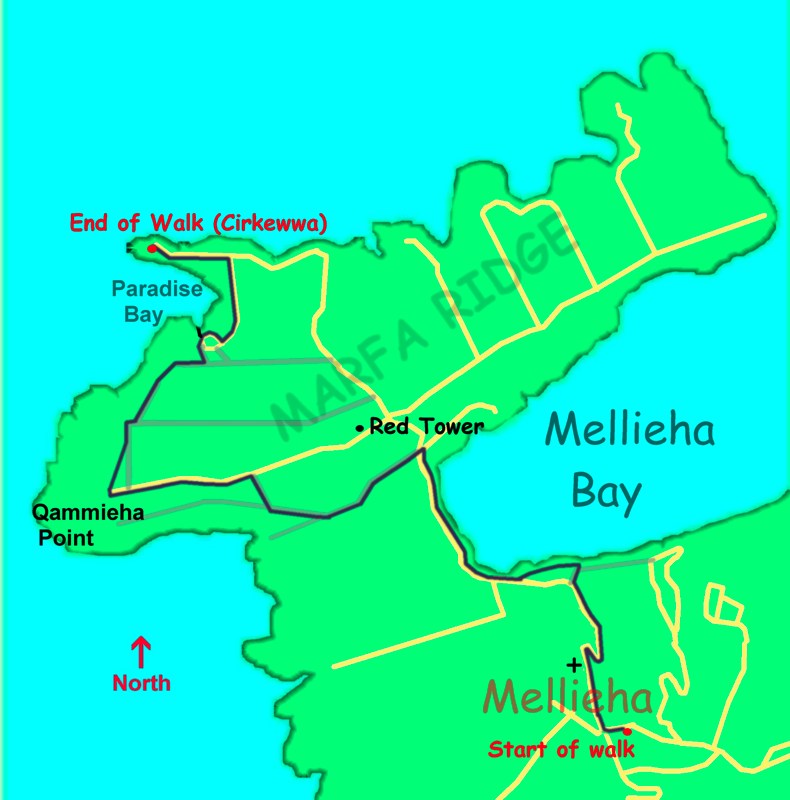
Walk 6 - Mellieha to the Gozo Ferry Terminal at Cirkewwa.
Tuesday, 1st April 2004.
Approximate Distance 5.75 miles.
Getting to Mellieha From St Paul’s Bay – No. 45 Bus
After our walk from St Paul’s Bay to Mellieha Town the weather forecasts had indicated rain and thunder storms, but like so many weather forecasts the weather men got it wrong and only light showers actually occurred. However, we decided to wait for a better forecast and after four days, although the forecasters predicted showers, we decided to go ahead with the final part of our walk from the one end of the island to the other.
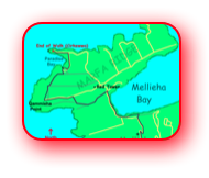

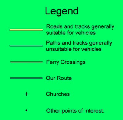
Map of the route taken from
St Paul’s Bay to Mellieha Town.
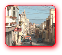
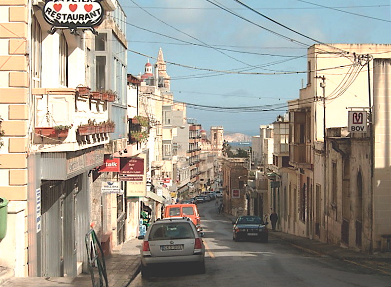
Yet again we used a no. 45 bus, which got us from St Paul’s Bay to Mellieha Town, were we alighted at the bus stop just before George’s Bakery, where we stopped to purchase a couple of Hot Cross Buns for sustenance on today’s trek. From here it was a pleasant walk downhill, passing the shops along the main street, on our way to Mellieha Bay.
Near the bottom of the main street – opposite the approach to the magnificent Mellieha Parish Church– is a gateway. Through the gateway are steps that lead down to a small shrine built into the rocks. It is like a small underground church and when we looked through the open door we could see candles burning in front of the alter. Other than the light from the doorway, as the shrine had no windows, this was the only source of illumination. It looked very tranquil, but as we were both wearing shorts in deference to the Maltese people we did not venture further but turned around and climbed the steps back to the gateway.
As we reached the gateway, in the region of 60 to 70 children started to come through it. The children and their teachers seemed oblivious to us when manners would have suggested the children would have stopped for the few seconds that it would take us to pass through the gateway to get back onto the road beyond. Suddenly a middle aged man, who I presumed to be connected with this group, stepped in front of the children. I thought he had seen what was happening and would stop the children, so we could “escape”. No such luck. He was just pushing in front of the children and once through the gateway allowed the remaining children to follow him. It was difficult to believe the children and “teachers” could have been so discourteous. Such rudeness does nothing to improve the tourist trade in Malta, which is crucial to the islands economy. However, having said that, the hotel we stayed at did have its quota of ill-mannered guests – mostly English. Maybe it is the ill manners of some of my countrymen, and women, that has rubbed off on some Maltese?
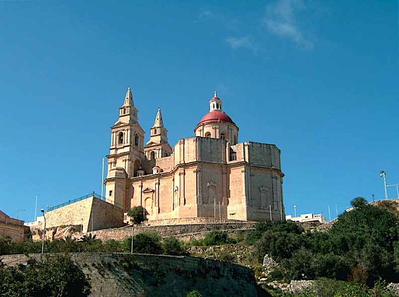
Having finally “escaped” from the shrine surrounds we soon forgot the poor manners as we enjoyed the stroll downhill from Mellieha Town to its namesake bay. The views were excellent. Looking left, over our shoulders, we are able to see the church in Mellieha, downhill we can see the bay, and beyond the bay, Marfa Ridge, with its Red Tower very obvious on the skyline. Also visible was part of the route we would take to get onto Marfa Ridge.
-
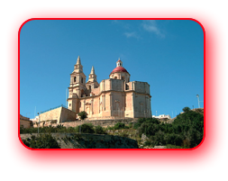
The magnificent church in Mellieha
which dominates the town. -
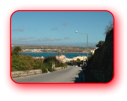
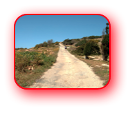
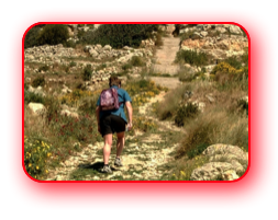
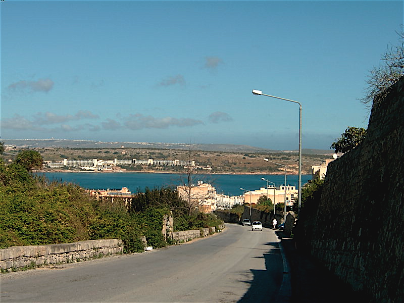
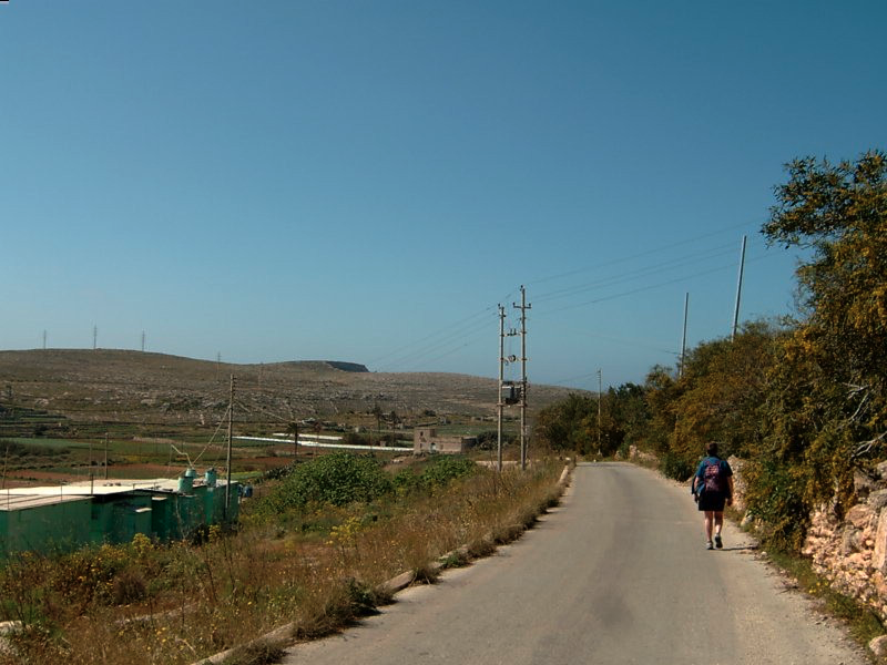
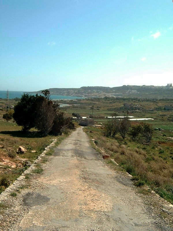
The road that connects Mellieha Town to Mellieha Bay. Pleasant to walk down but a bit of a pull when ascending.
-
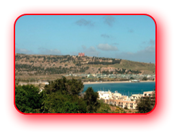
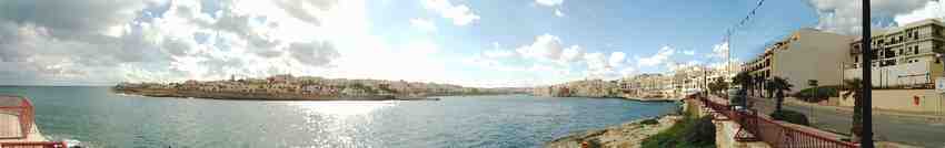
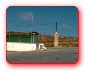
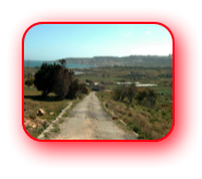
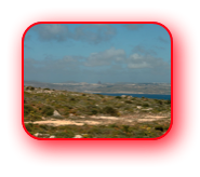
Looking over Mellieha Bay to
Marfa Ridge and the Red Tower -
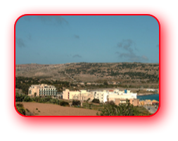
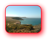
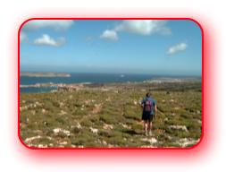
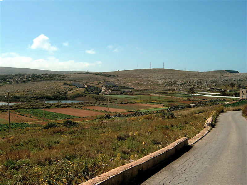
Another view of Mellieha Bay. Our diagonal path on to Marfa Ridge can be clearly seen.
As the Mellieha Bay is approached the road bends left. Although we could follow the road we prefer to carry straight on, down a steep side road to the right of the Ludo Holiday Complex. This not only escaped the traffic but got us to the sea quicker.
From here we followed the coast left, returning to the main road before following the footpath, which was soon overlooking the sand of Mellieha Bay.
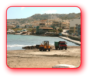
We continued along the footpath around the bay, which gets very busy in the summer months and is generally regarded as one of the best stretches of sand on the island. However, most of the people on it today were workmen who were clearing seaweed from the beach with a digger, scooping it up and dumping it into a lorry.
Soon after we were accosted by a woman who greeted us with a very polite “Good day. I hope you are enjoying your holiday”. How do they know we are on holiday? How do they know we’re English? She then proceeded to ask if we could help her with a survey. As it was obvious she was a timeshare tout I told her we were having a good holiday and didn’t do surveys. At which point she got into the car close by, which had stopped to allow her to confront us, and continued along Mellieha Bay looking for another likely victim.
Maybe I should have listened to what she had to say. However, from what I’ve gleaned from other Maltese visitors who have been confronted, whatever temping offers are made it usually ends up with a timeshare hard sell.
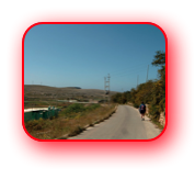
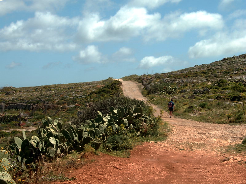
We continued along the footpath passing the bus terminal and a nature reserve, both of which are located on the other side of the road. Soon the road and our path started to ascend out of the bay, but just before the road swings sharp right (just after some toilets) there is a tarmac lane on the left behind some green painted holiday homes. Here we crossed the road and followed this undulating lane which is below the south side of Marfa Ridge.
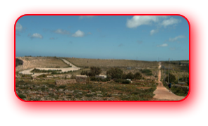
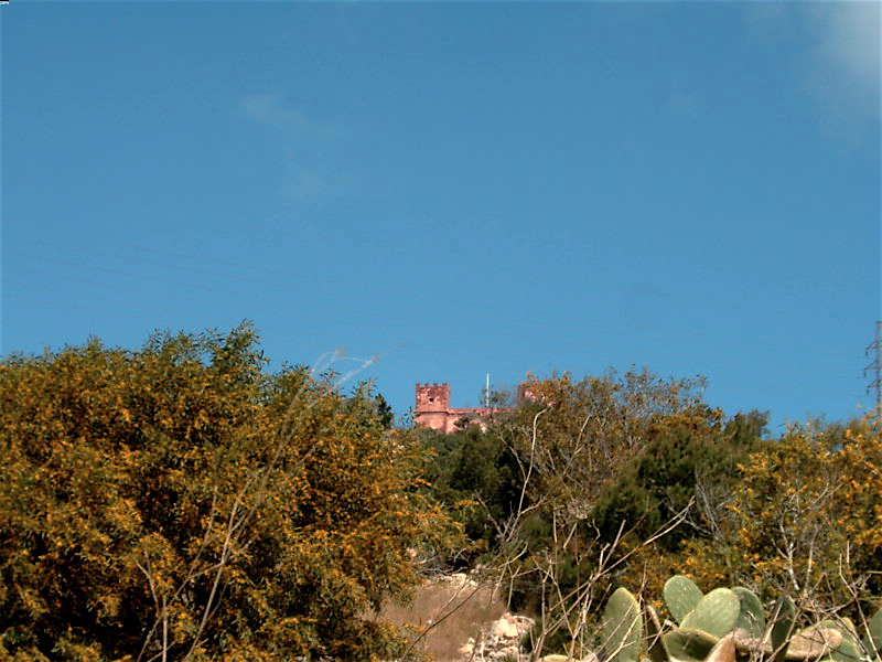
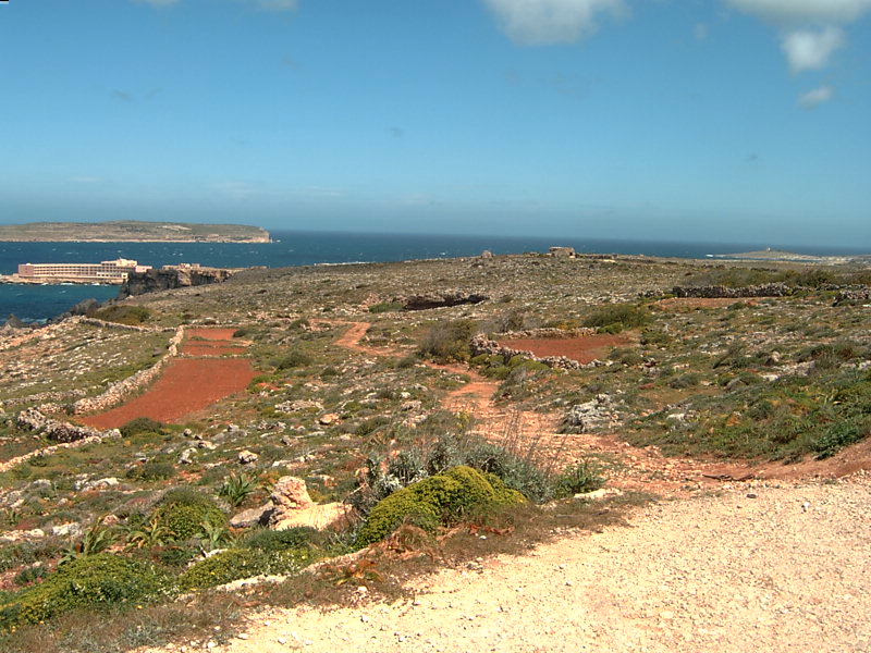
The views from here are very good. The bypass to the west of Mellieha Town could be seen. We are able to look down into the nature reserve and terraced fields, complete with wind pumps, while on our left the uphill view is of scrubland and occasional glimpses of the Red Tower.
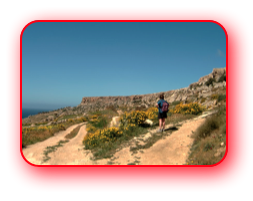
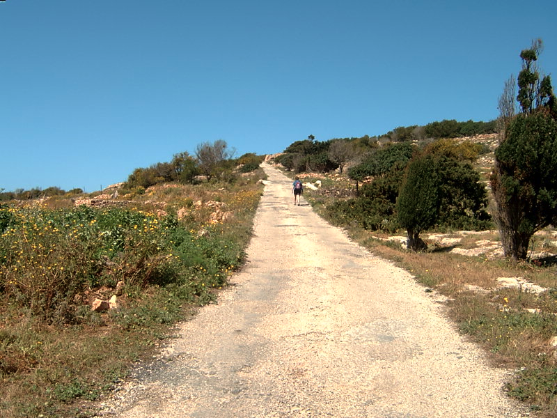
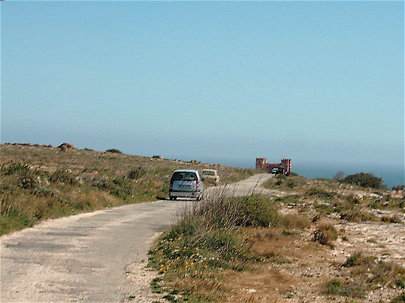
A couple of 100 yards, after walking between some old farmhouses, we reached a metalled track that went diagonally uphill on our right. This was our path and as we ascended we occasionally stopped to gain our breath and were able to look back at Mellieha Bay to our left (east) and the west coast to our right. Although the ascent is steep the views were ample reward for our endeavours.
As we neared the top of this track we spotted a green barrier pole. On reaching this we enjoyed superb views of the west coast. A few yards later the track divided. We took the right hand track, the higher of the two, and, having followed this for 200 yards or so, took a path that went sharp right and uphill. If you should do this walk you will know you are on the right path if you see steps towards the top of this ascending path.
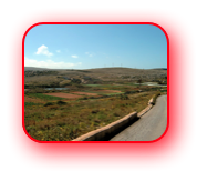
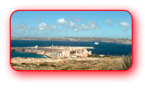
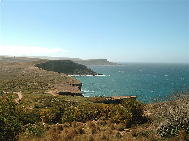
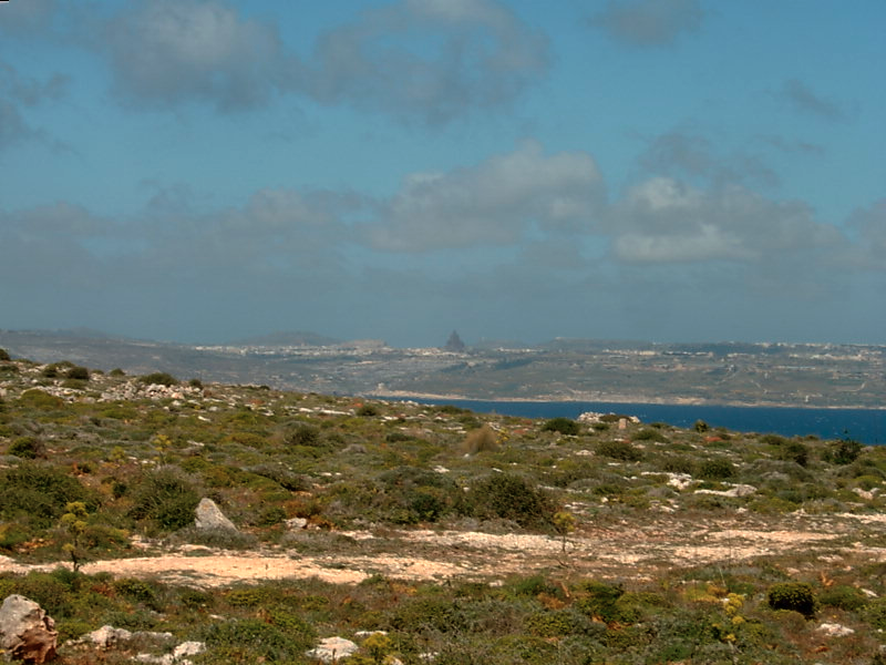
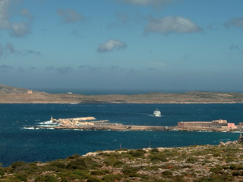
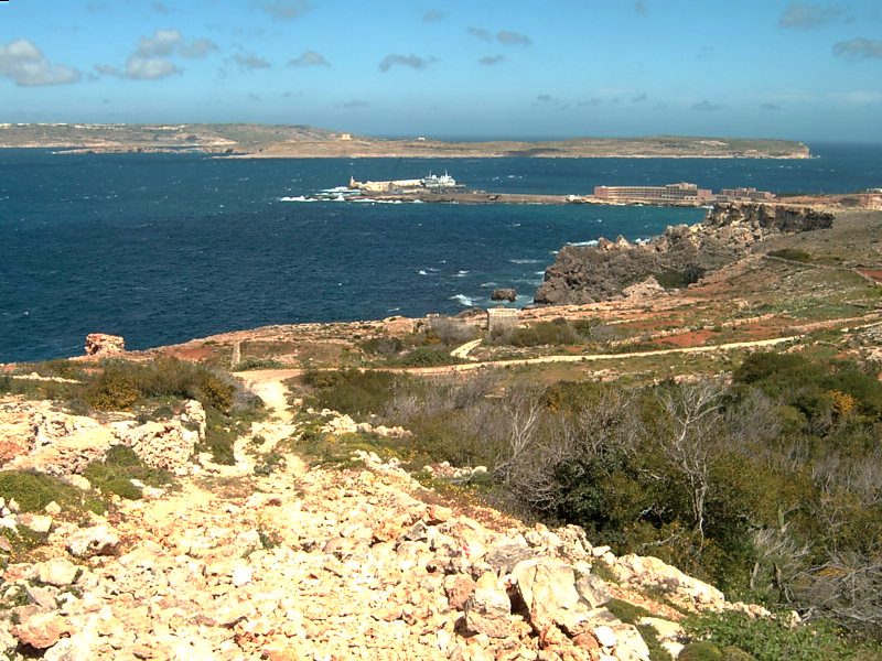
After a steady pull, we reached the road from the Armier Cross Roads, which goes westwards past the Red Tower and our current location to end at some old World War II buildings that overlook Qammieha Point. These buildings were our next objective. However, we were in no rush and enjoyed this ridge walk, which gave us glimpses of Gozo. In fact we got very good views, being able to see the dome of the Church in Victoria, which is located in the middle of Gozo. We could also see the ferries as they went between Cirkewwa and Mgarr, Gozo’s ferry terminal.
-
Having reached the road from the Armier Cross Roads we turned left....
-
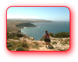
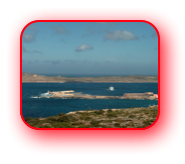
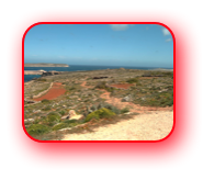
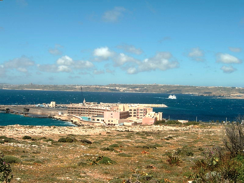
...and enjoyed the views of Gozo - the Church in Victoria, the island's capital, can be seen in the middle of the photograph.....
-
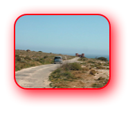
.....and the ferry coming into Cirkewwa.
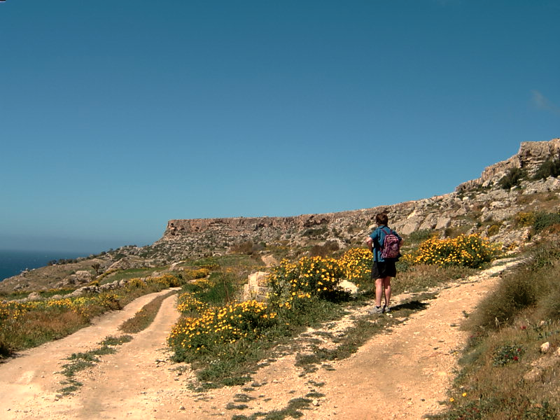
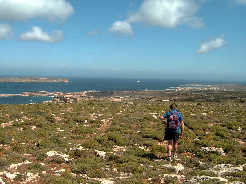
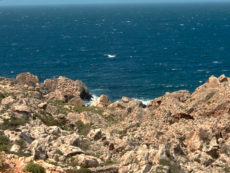
The buildings, as expected, were derelict, but past them are more wonderful views of the west coast of Malta. However, here the cliffs are high and I understand because of fractures are unstable. So it was back to the WWII buildings and from there we pick our way across the trackless limestone going generally in a north easterly direction downhill towards the vehicle turning circle above Paradise Bay. However, after about 5 minutes we noticed a track on our right. The walking on this looked as if it would be easier so we crossed to it and followed it as it went downhill in the direction we wanted to go. It was certainly easier than the Coralline Limestone, although near the bottom of the ascent it was steep and care was necessary.
-
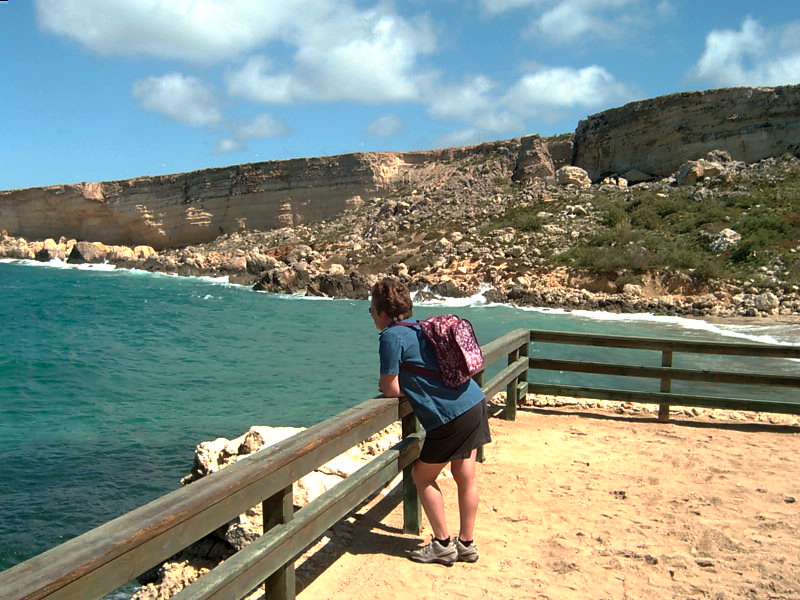
Anne crossing the difficult terrain.
-
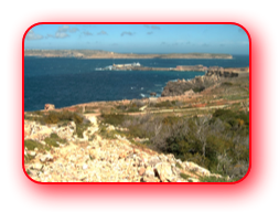
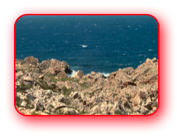
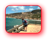
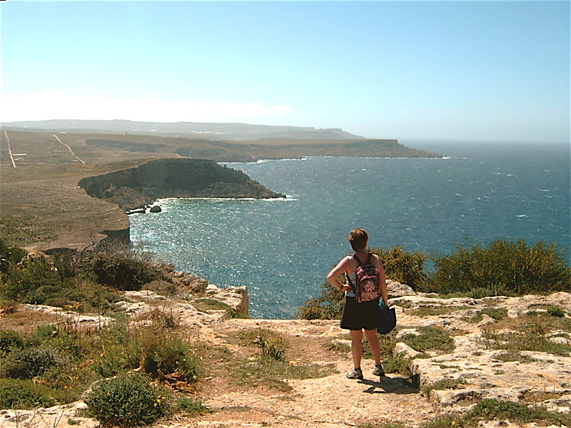
Our rocky downward path with
Cirkewwa and Gozo in the distance. -
Sculpture and Gozo
-
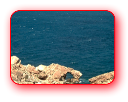
The rugged coastline
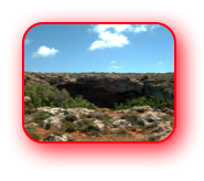
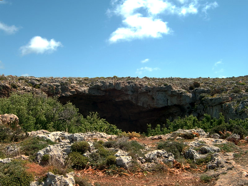
At the bottom of this track, which was very rough as we got closer to the sea, we turned right – almost due east – and followed a tarmac lane for about 150 yards before going left off it and downhill along a less substantial path. However, the walking was much easier now and the landscape less rugged with small cultivated fields. Within a few minutes we spotted a depression/cave on our right. The depression was filled with vegetation including some large trees. I did consider getting close to the “hole” but the wind, which had been blowing since we started this walk, seemed to be getting worse and the edge of the depression seemed less than safe.
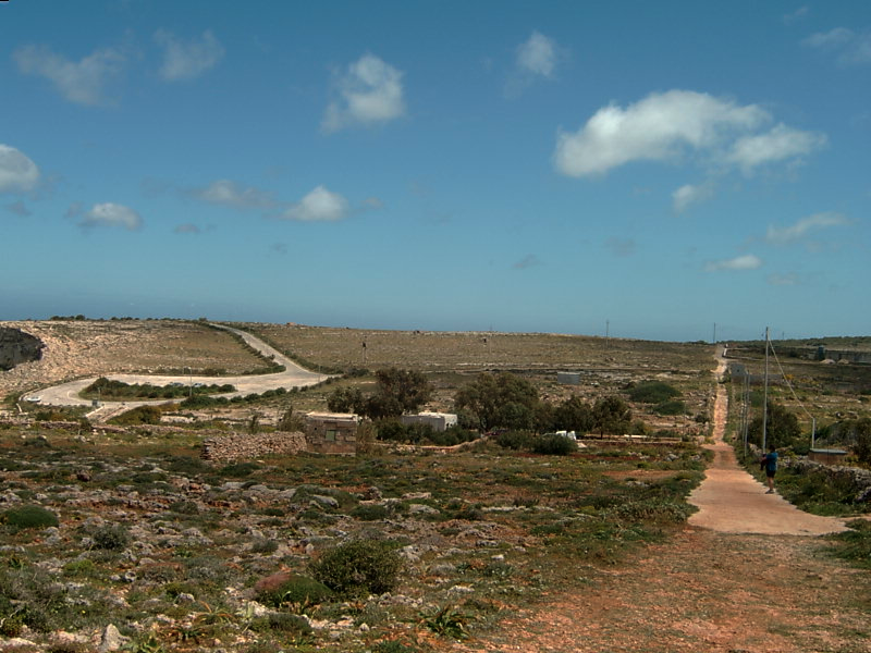
Continuing in the same direction – we were still going more or less north east – we lost the path, but we soon picked one up as we continued to head for the turning circle near Paradise Bay. Soon the path lead into a lane with houses on the left. At the bottom of this descent, in the base of the valley, we turned left and in a couple of hundred yards we were at the Paradise Bay turning circle and its adjacent car park.
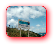
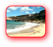
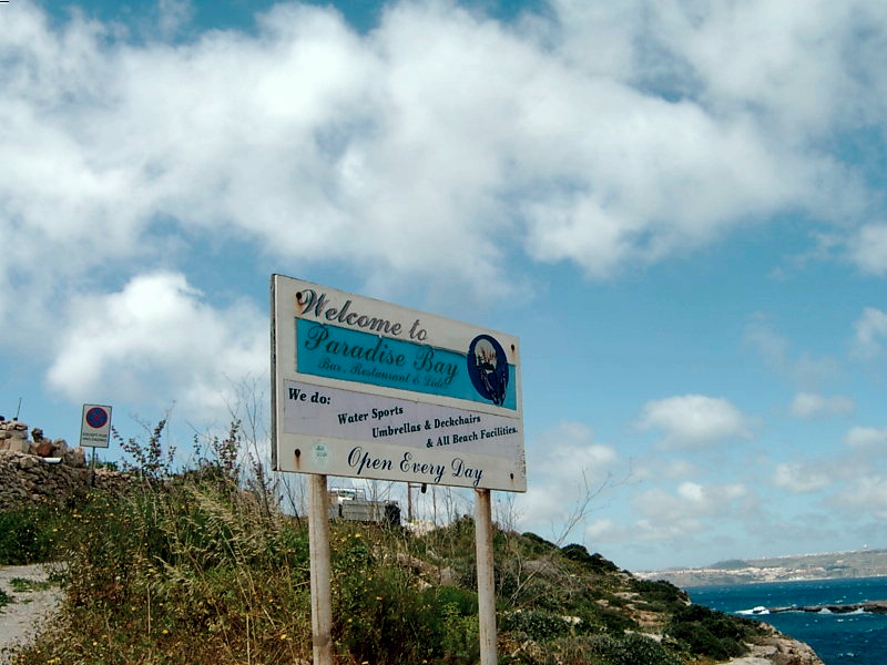
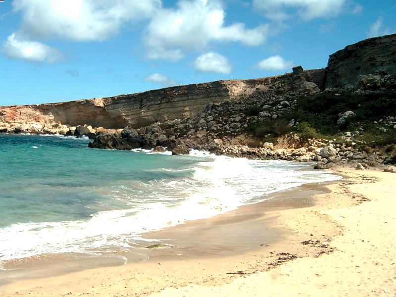
Being so close to Paradise Bay we thought we should pay it a visit. A sign said that it was “Open every day of the year”, so we thought we could get a drink there. No such luck. We took the 100 plus steps down to the bay to be greeted by empty bars, restaurants and cafes. So we had a look around, admired the back of the Paradise Bay Hotel which we could see further around the coast at Cirkewwa, I took a few photographs and 10 minutes later we walked back up the steps to the turning circle.
At the top we followed the obvious route, a road, and soon we were going downhill towards the main road from the ferry terminal to the rest of the island. On reaching this we turned left passing the Paradise Bay Hotel on our way to the ferry terminal and ended our end to end walk of Malta.
At the terminal Anne asked a bus driver if we were on the right bus (no. 45) for St Paul’s Bay and received the almost standard Maltese Bus Drivers’ grunt – which in English means yes. It is strange but we have noticed on many occasions that the locals get a far more pleasant reception. Obviously the grunts are saved for the visitors. So we paid our fares, received another grunt – did this one mean thank you? - and were soon on our way back to our hotel at St Paul’s Bay.